Cockscomb-Outer Limits-Ground Control Loop Trail Sedona, AZ
- Donna Yewchin
- Mar 22, 2022
- 4 min read


Directions: Starting from downtown Sedona, travel south on 89-A towards Cottonwood.
Go through all of the traffic circles continuing south to Dry Creek Road
Take a right onto Dry Creek road traveling two miles to Boynton Pass Road
Take a left onto Boynton Pass Road and drive straight-four miles
Turn left onto Aerie Road for 0.4 miles, then turn right into the parking lot
Address: 340 W. Aerie Rd.
About the Hike: This loop trail is 3.70 miles with an 390 foot elevation gain. The trail is made up of three separate trails that are all linked together forming a loop. You will begin on the Cockscomb trail to reach either the the Ground Control trailhead by continuing straight or turn right on to the Outer Limits trail. Both trailheads are roughly 0.7 miles from the parking lot.

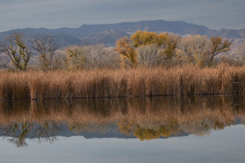
On Thursday evening after work, I chose to do the Outer Limits trail, starting in a southerly direction. Off to my right was a meadow sprinkled with cypress, scrub oak, pinon pines, and shaggy bark trees.

As I hiked, I enjoyed watching the storm clouds splash light across the terrain on the western horizon.

The pathway was a smooth and easy hike.

A mountain biker whizzed past.

This is the perfect trail for mountain biking or trail running. I paused, thinking I could even ride my bike along this route.
I didn't feel like riding or running. Instead tonight, it suited me perfectly to hike and take pictures of the beautiful scenery.

You do not pass the iconic rock formations of Sedona on this trail. Still, the open expanse provides equal satisfaction to the beauty of the Coconino Forest.

Finally you get your first glimpse of Cockscomb Mountain once you travel over the rolling hills at the start of the hike.


Cockscomb trail winds through the Coconino forest for 0.7-miles before you take a right onto the Outer-limits. Keep an eye out for the sign-post.
The beginning of trail leads you towards a dry creek. I thought about flash flooding as I navigated through the stream. Those eerie storm clouds hovering overhead had me pausing with concern.

I enjoyed strolling along the dirt pathway towards the mountain. The four spires running across the top reminds me of a rooster's cockscomb, thus giving the hill its name.
The smooth path was an easy walk along the base of Cockscomb mountain.
I was reminded of ribbon taffy being pulled as I gazed up at the stratifications on the rocks.

I tried to capture the magnitude of the mountain range with my I-phone camera in panorama mode but it distorted the view. Without my tripod handy my I-phone was the next best choice.
The trail curved westerly bringing you closer to the rock outcroppings responsible for giving this geological wonder its name, Cockscomb mountain.

We turned around at Ground Control sign-post. Daylight was fading, signaling me that I'd have to return a different day to the second part of the loop.

Darryl stopped to ask me to pick up my pace, evening was close at hand.

Darryl picks up his pace while I snap pictures of the sunset.

I tried to hurry up to finish the hike before it got dark. But to Darryl's chagrin, I stopped periodically to capture the sunset with my camera.

At the end of our hike we were delighted by the colorful explosion lighting up the clouds.

We returned on Saturday to tackle the second half of the loop, the Ground Control Trail. I was in for a surprise as this trail takes you to the top of the mountain, where you weave along the face of the mountain on a very narrow track. Steep drop-off's were sprinkled periodically along the path.
We continued straight instead of turning onto the Outer Limits trail. Up a very slight incline is a signpost marking the start of the Ground Control hike.
Pausing to read the warning, caution, extreme difficulty, experts only. Upon reflection, I realized this was for mountain bikers, not hikers. But be warned, this hike has some scary places where the narrow trail has steep drop offs.

The trail winds upward to an elevation 4659 feet. The route twists through cypress and shaggy oak trees towards the peak.

Three hundred feet below are plains spreading out across the horizon to the next mountain range sitting off in the distance.

Eventually the path evolves from sand to flat red stones lodged neatly between the towering red rock escarpment.

You've arrived, the cockscomb spires are close enough to touch. Suddenly those thundering buttes seem tiny compared to earlier when you viewed them from the outer limits trail. I gaze upward, ever conscious of the fact directly behind me is a 300-foot drop.

I grabbed my husband's hand as we hiked along that edgy westerly trail. I couldn't imagine what type of mountain biker would risk riding along this trail. I thought about the sign, extreme difficulty technical riders only. I think that might have been an understatement.

I paused, turned, and snapped this picture to capture the sheer three-hundred-foot drop-off. Even this picture does not give it justice.
I stop a few feet up the trail and gaze across the horizon. Far off, I see Capitol and Courthouse buttes and Cathedral Rock.

Luckily, this led us towards the top of a spire, marking the point to begin our downward descent towards the outer-limit trail.

The perfect view of the rocky escarpment awaits after shimming down the slick shale rocks.
My nervousness dissipates from here as the path widens and levels out a bit.
In the distance, I spy what appears to be a shade shack. I ponder did someone build that for themselves or a place for animals to seek shelter.

This juniper caught my attention. Do you think the tree was struck by lightning?

I found the perfect spot to take a break from this challenging hike. While resting, the tree across from me looked like a giant lizard. Goofing around, I climbed up to take a ride.

This new trail was recently added in January 2020 to the Sedona trail system. It's less traveled than others, so a great alternative to the more popular routes.
Remember, the ground control hike offers challenges, so if you have even the slightest fear of heights, this hike is probably not for you.


Comments